Resources · are.na
Precedents
Cartographic references, projects, and visual inspiration.
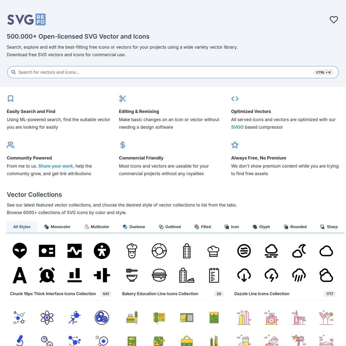
SVG Repo - Free SVG Vectors and Icons
via svgrepo.com
Map and location data and tools for wildfires - Google Drive
via docs.google.com
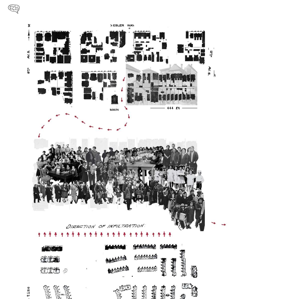
Synthesis Maps | Gigamaps | Strategic Innovation Lab (sLab)
via slab.ocadu.ca
Collectie -Exactitudes
via exactitudes.com
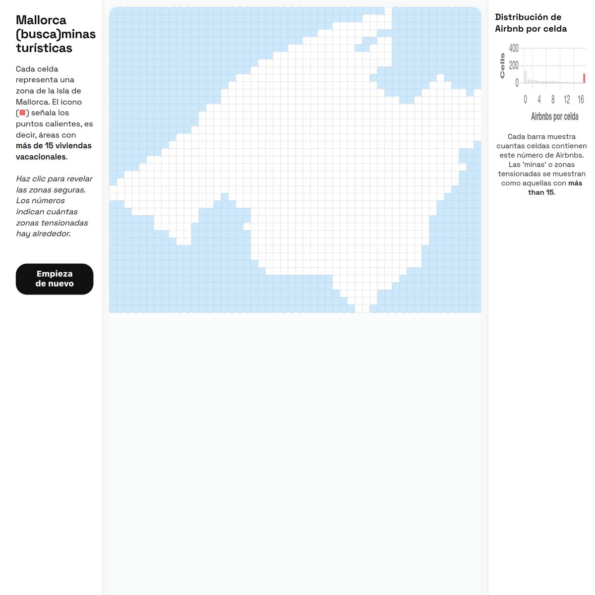
Mallorca Airbnb Hotspot Sweeper
via playabledatalab.github.io
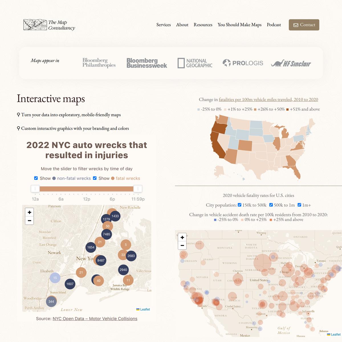
Services offered by The Map Consultancy
via themapconsultancy.com
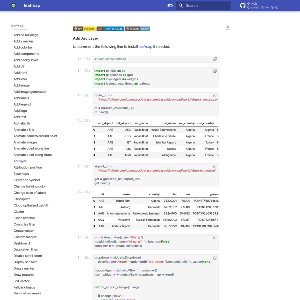
Arc layer - leafmap
via leafmap.org
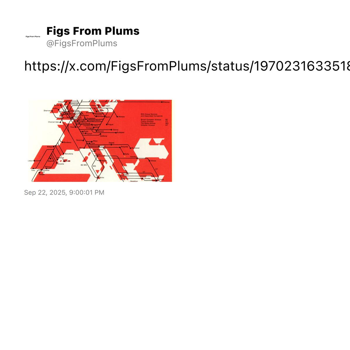
Tweet by @FigsFromPlums
via twitter.com
Draw On Maps and Make Them Easily
via scribblemaps.com
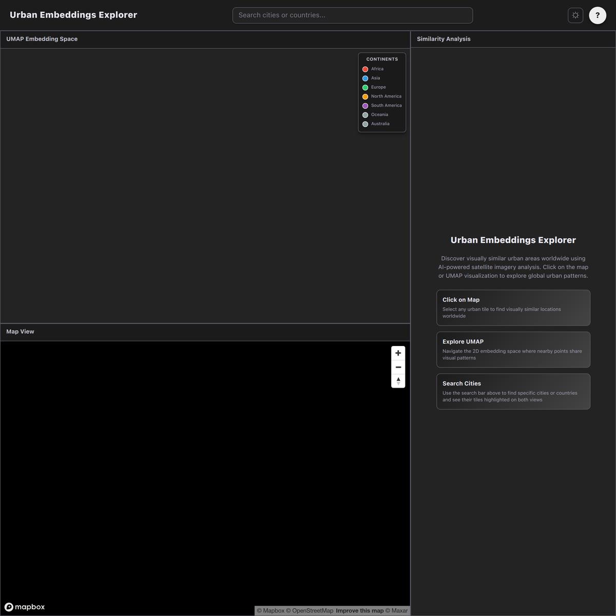
🛰️ Satellite Embeddings Explorer
via urban-embeddings-explorer.vercel.app
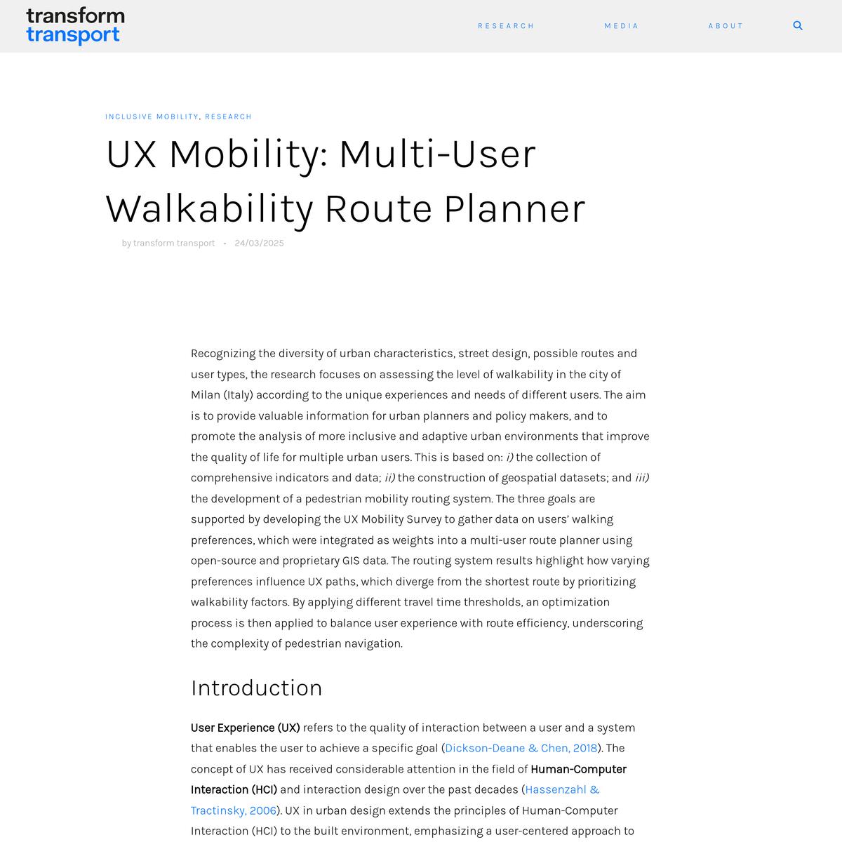
UX Mobility: Multi-User Walkability Route Planner - Transform Transport
via transformtransport.org

New York Television
via nytv.live
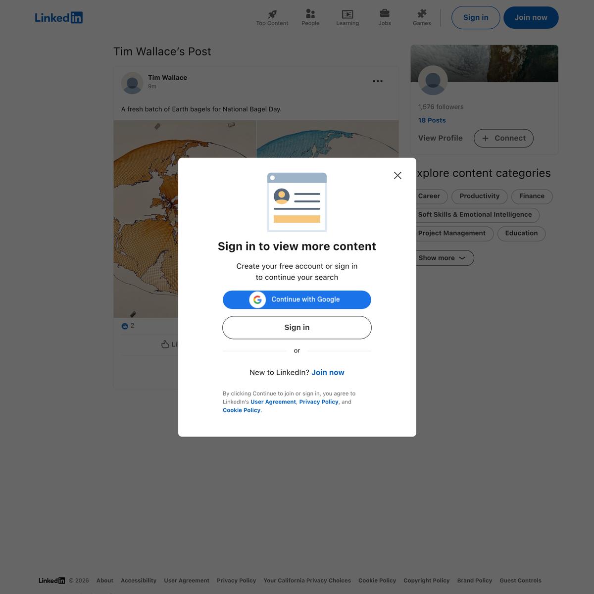
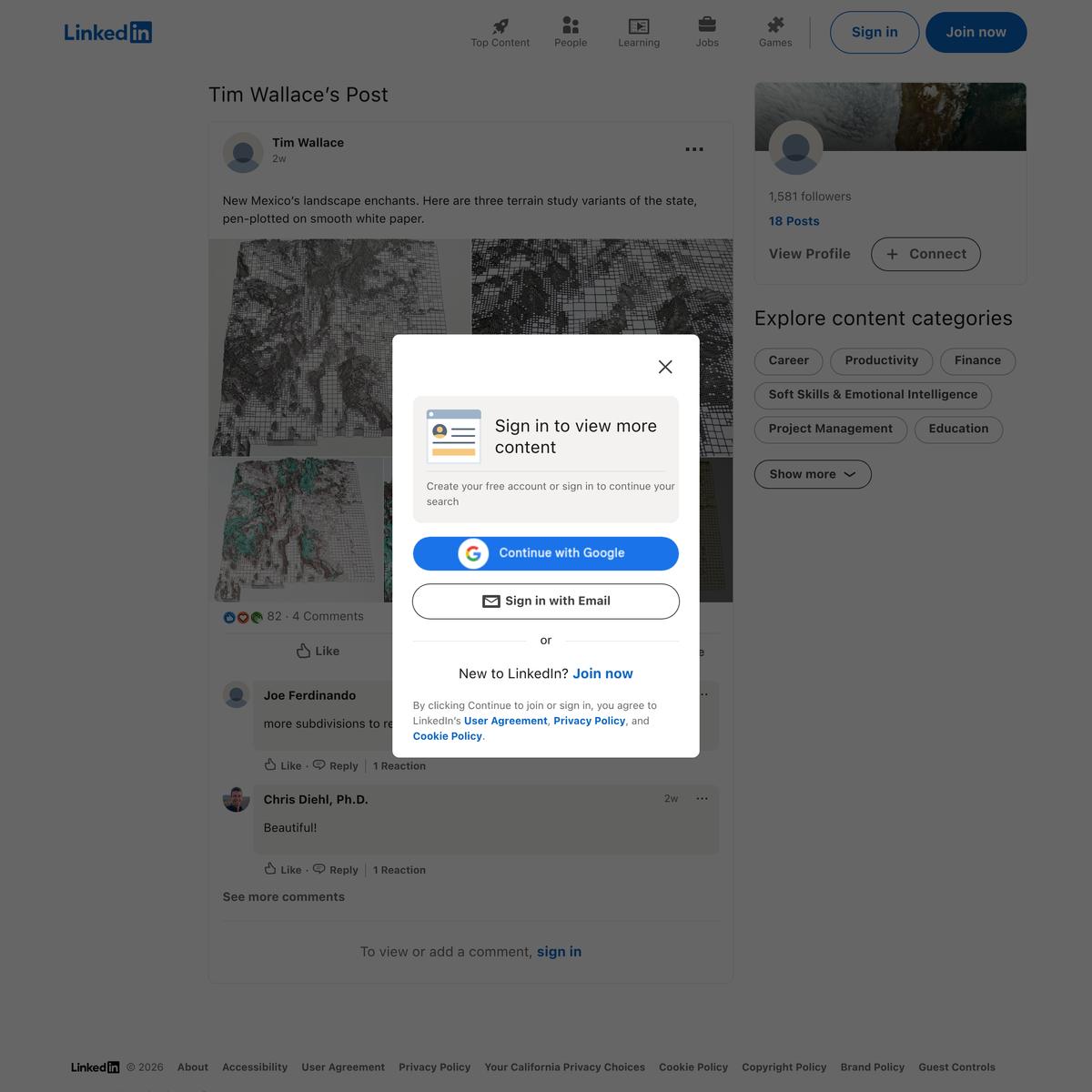
A fresh batch of Earth bagels for National Bagel Day. | Tim Wallace
via linkedin.com

all text in nyc
via alltext.nyc
Searchable.City
via searchable.city
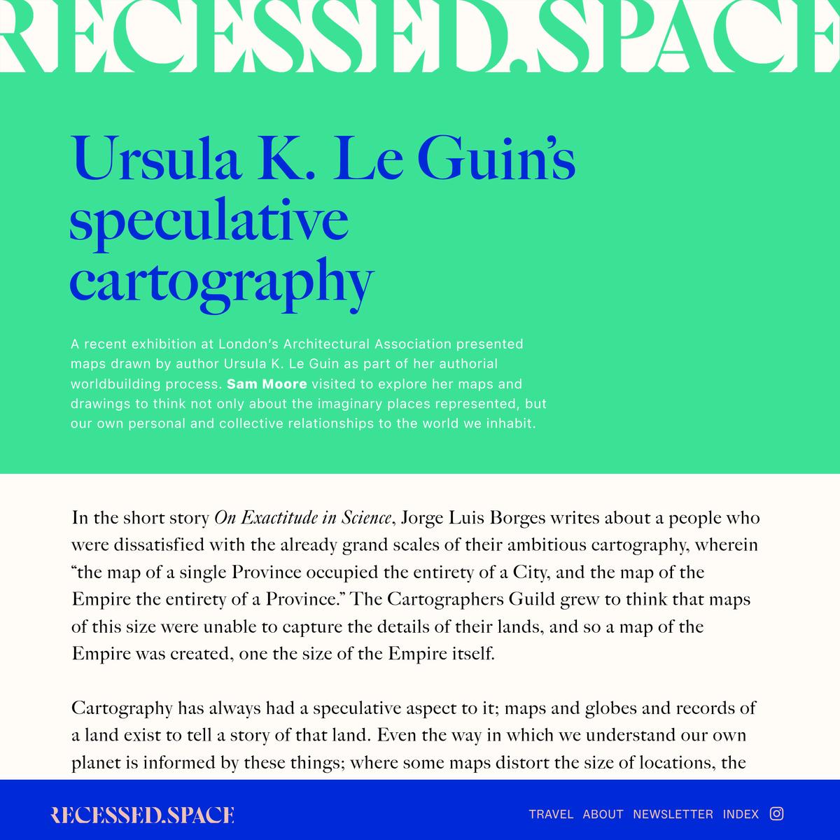
00310 - Ursula Le Guin AA - recessed.space
Ursula K. Le Guin’s speculative cartography A recent exhibition at London’s Architectural…
via recessed.space
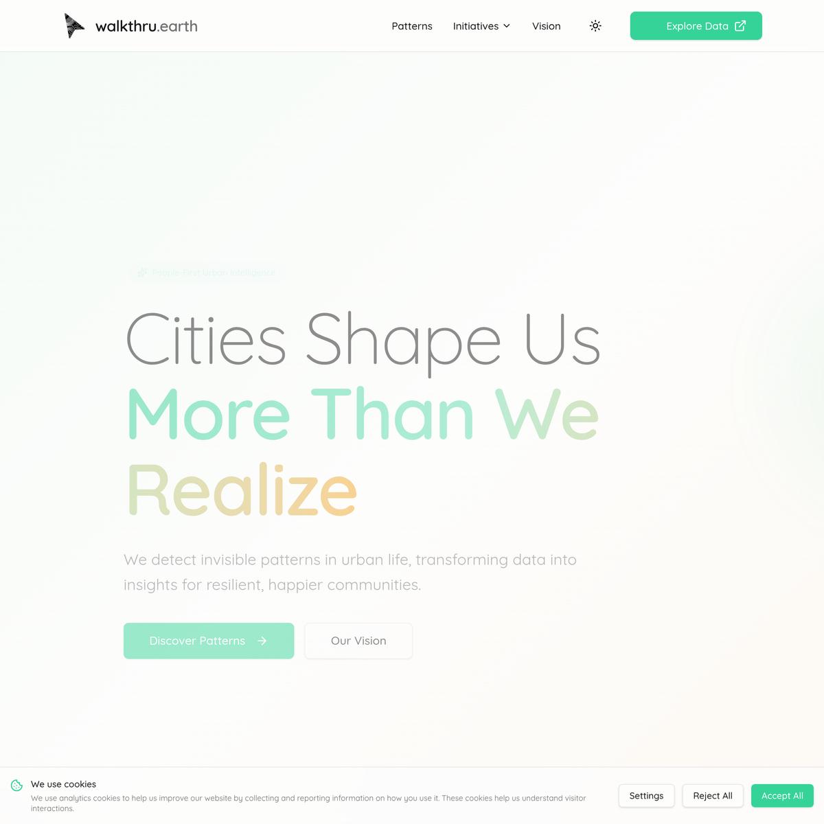
walkthru.earth - People-First Urban Intelligence
via walkthru.earth
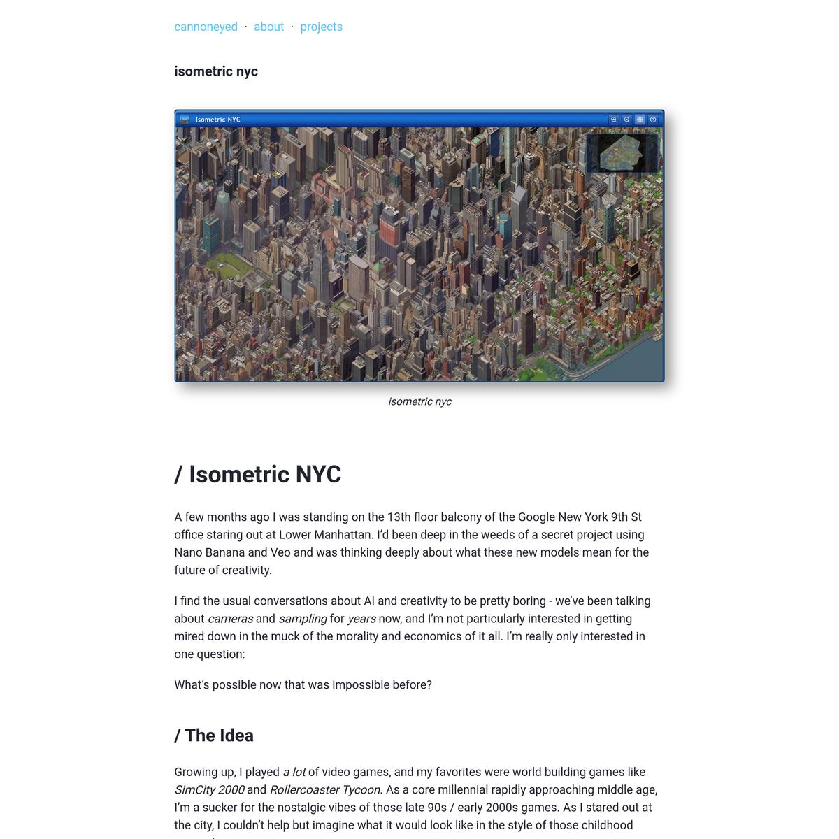
cannoneyed.com/projects/isometric-nyc
via cannoneyed.com
Lythologies
via lythologies.org
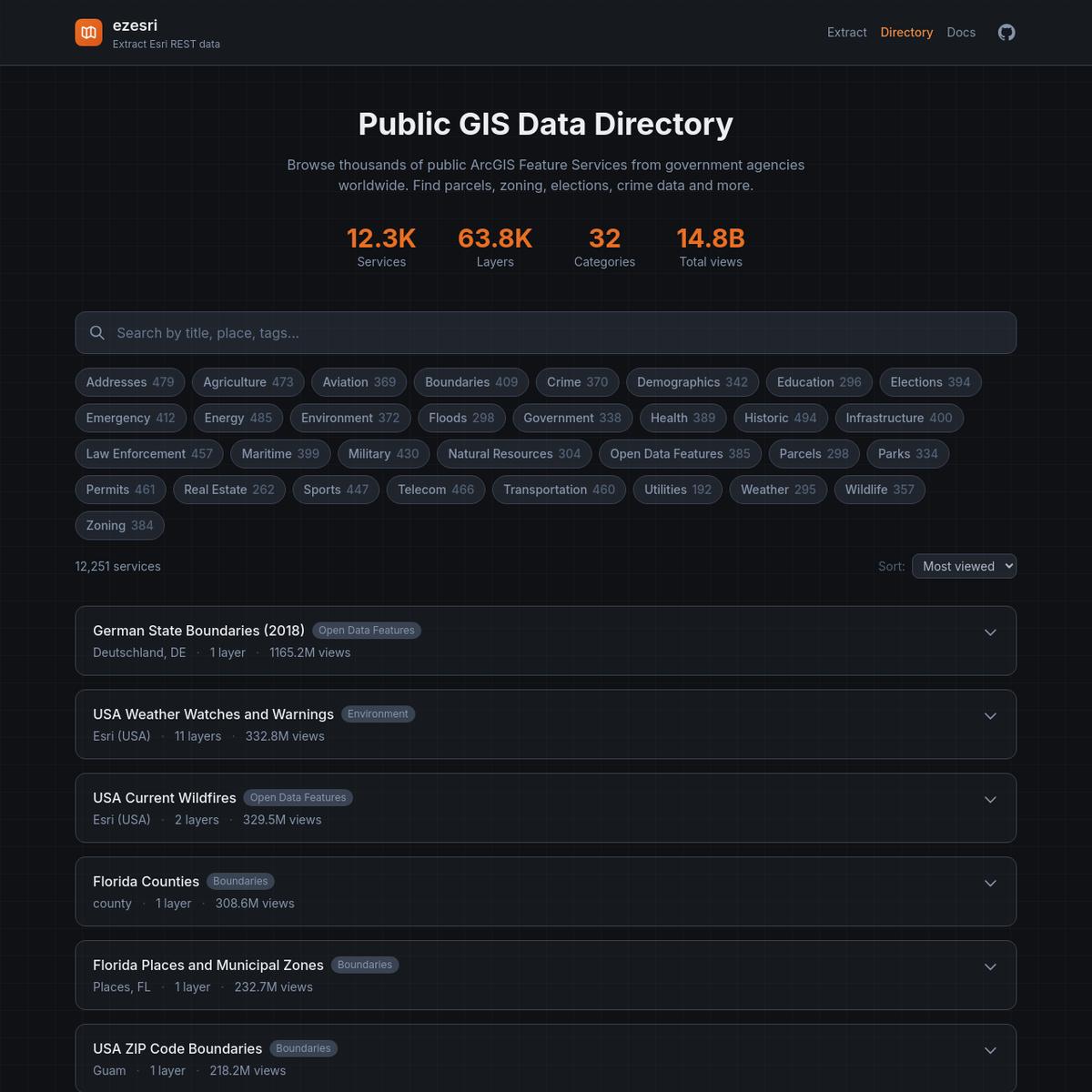
Public GIS Data Directory | ezesri
via ezesri.com
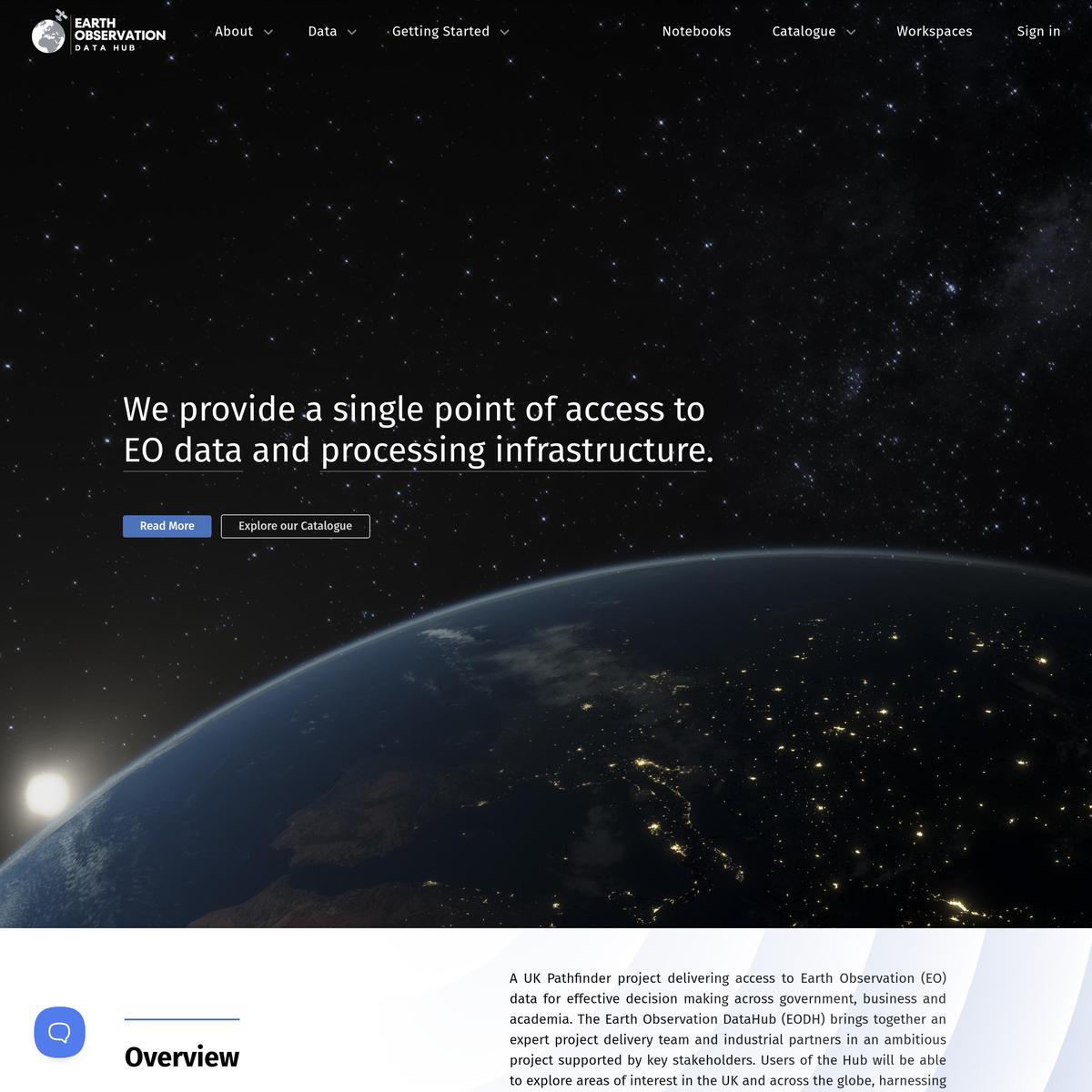
Home
via eodatahub.org.uk

The Team - NASA Lifelines
via nasalifelines.org

Laberinto
via laberinto.app
The Geography of Isolation | Third Place Index
via thirdplaceindex.org

Verify Access
via davidrumsey.com
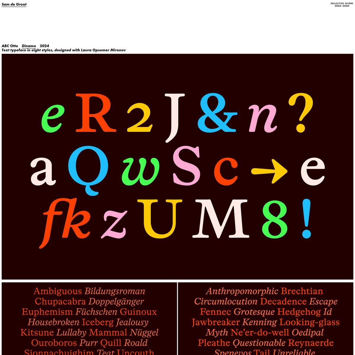
Sam de Groot
via samdegroot.nl
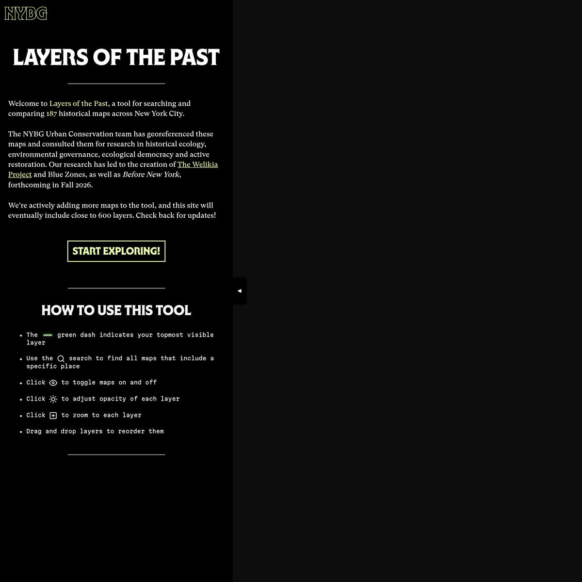
Layers of the Past
via layersofthepast.org

Stations and transfers - albertguillaumes.cat
via stations.albertguillaumes.cat
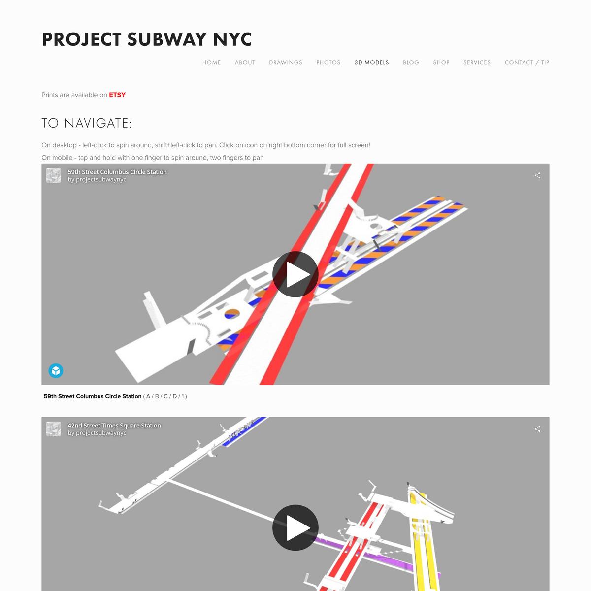
3D Models — Project Subway NYC
via projectsubwaynyc.com
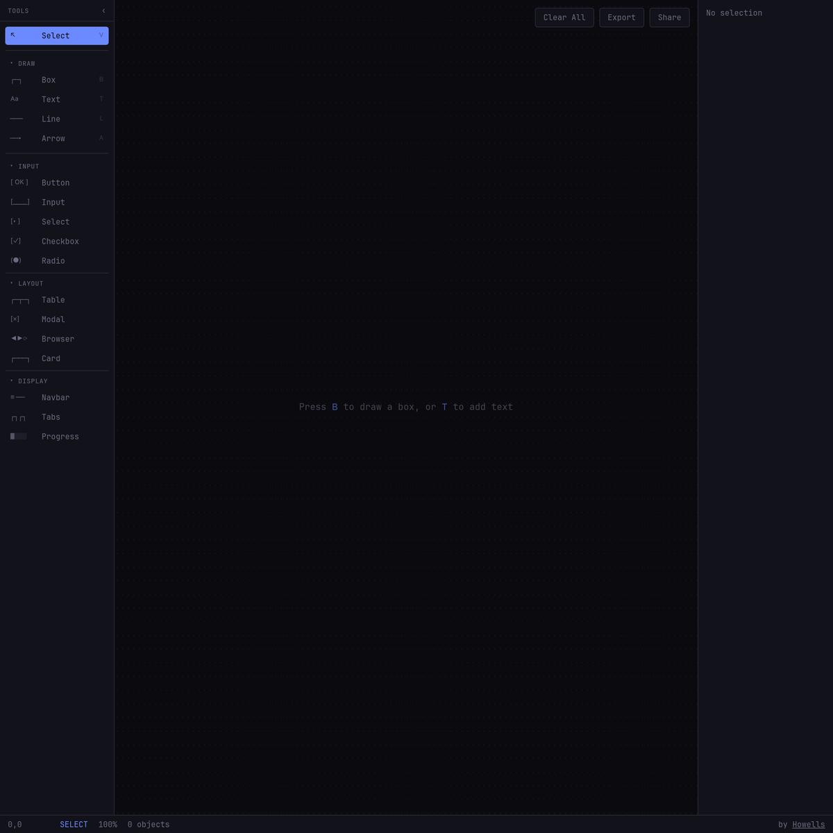
Wiretext — Unicode Wireframe Design Tool
via wiretext.app
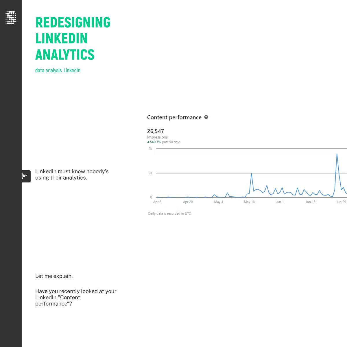
Redesigning LinkedIn Analytics
via storiesofdata.com

Decidim Barcelona – Cosmograph
via run.cosmograph.app
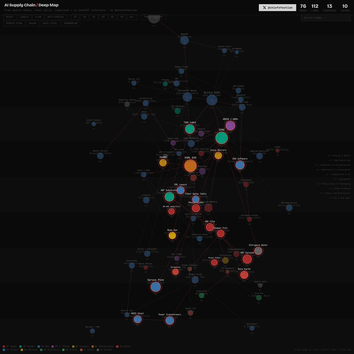
AI Supply Chain — Deep Map v5
via aisupplychain.vercel.app
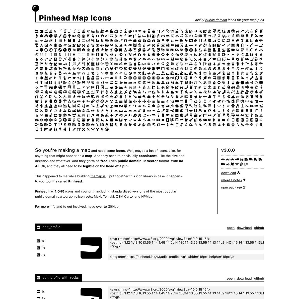
Pinhead Map Icons by Wayside Mapping
via pinhead.ink
https://exhibits.stanford.edu/cartosym/browse
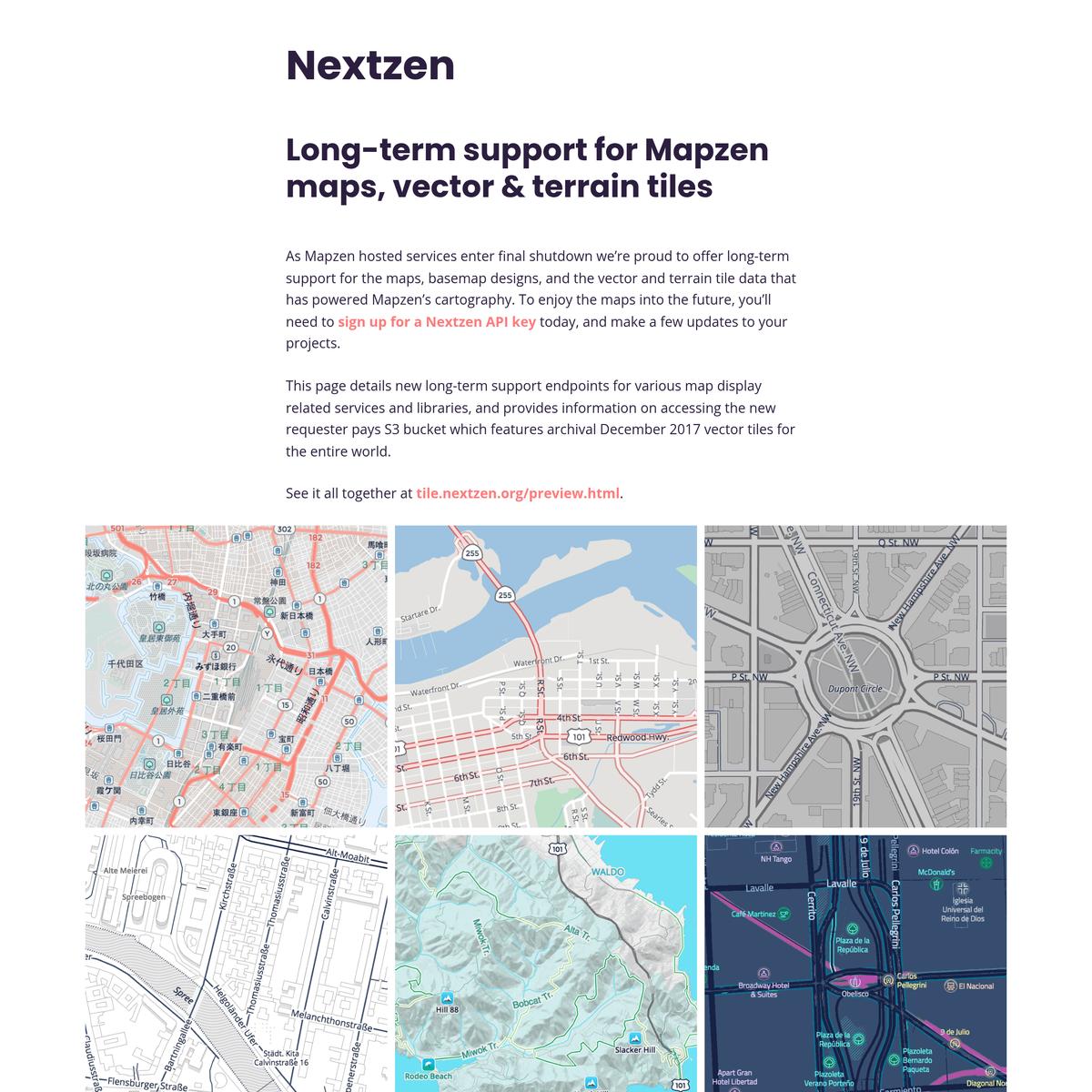
Nextzen
via nextzen.org
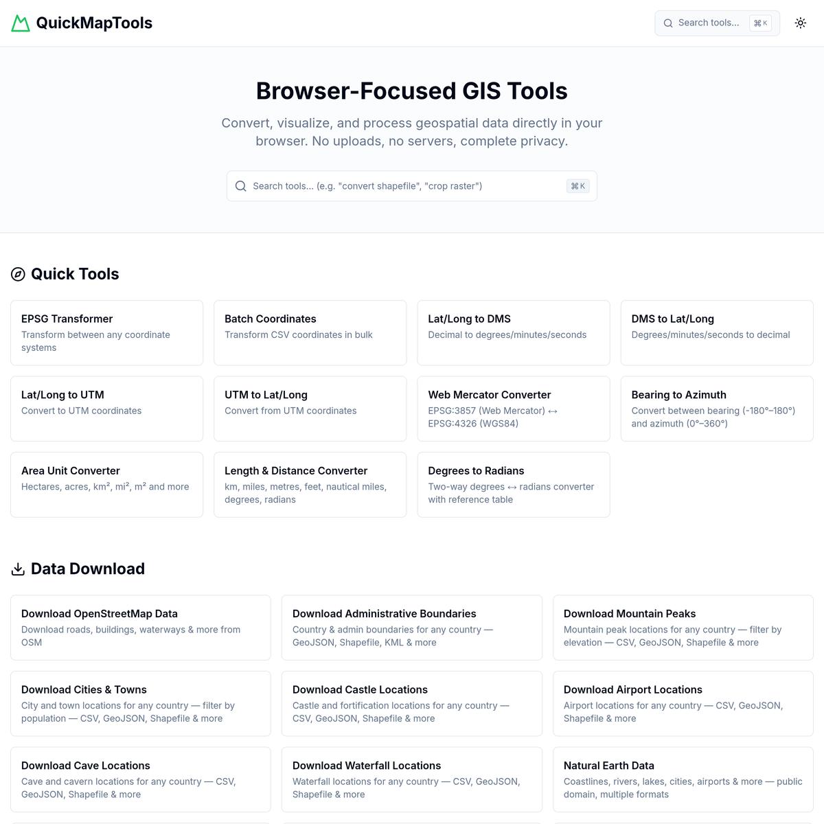
QuickMapTools - Browser-Focused GIS Tools
via quickmaptools.com
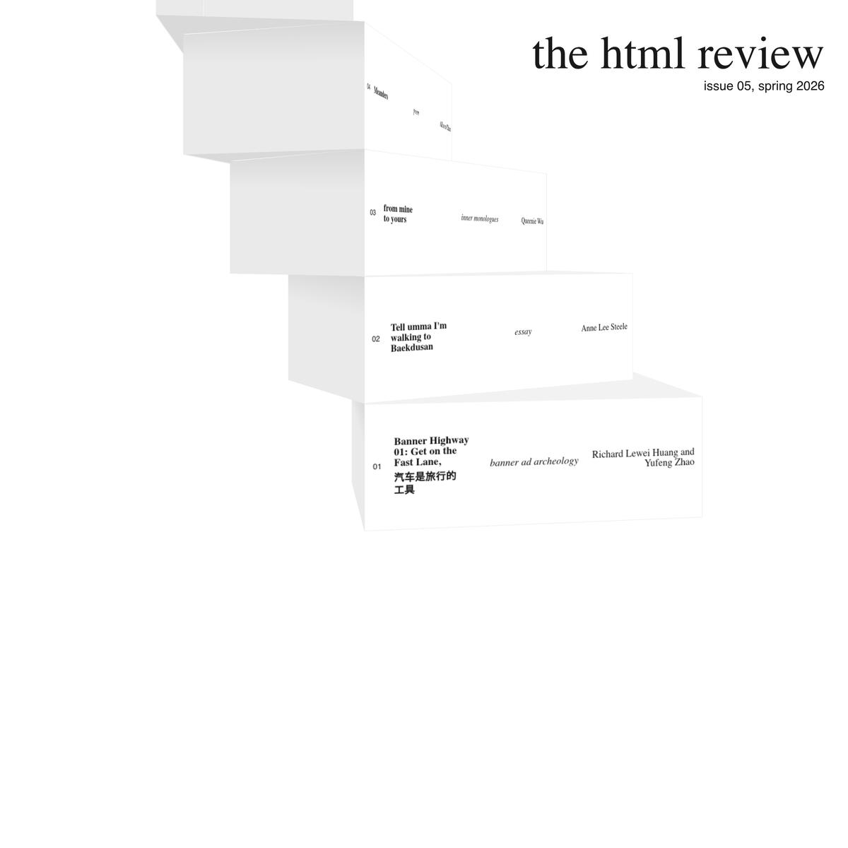
the html review 05
via thehtml.review
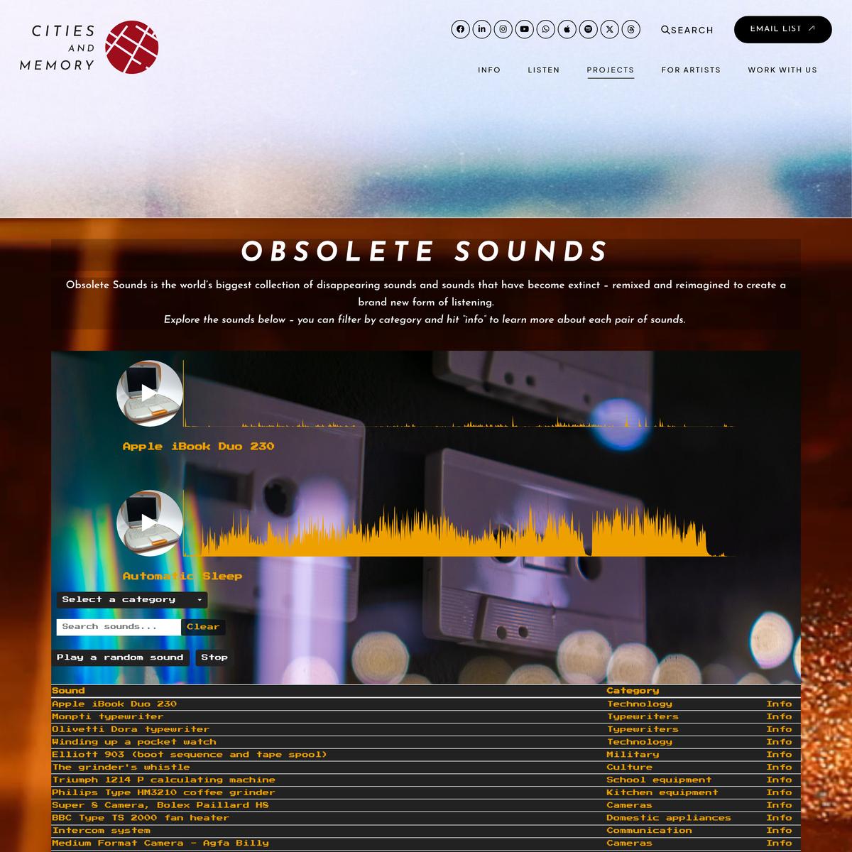
Obsolete Sounds
via citiesandmemory.com
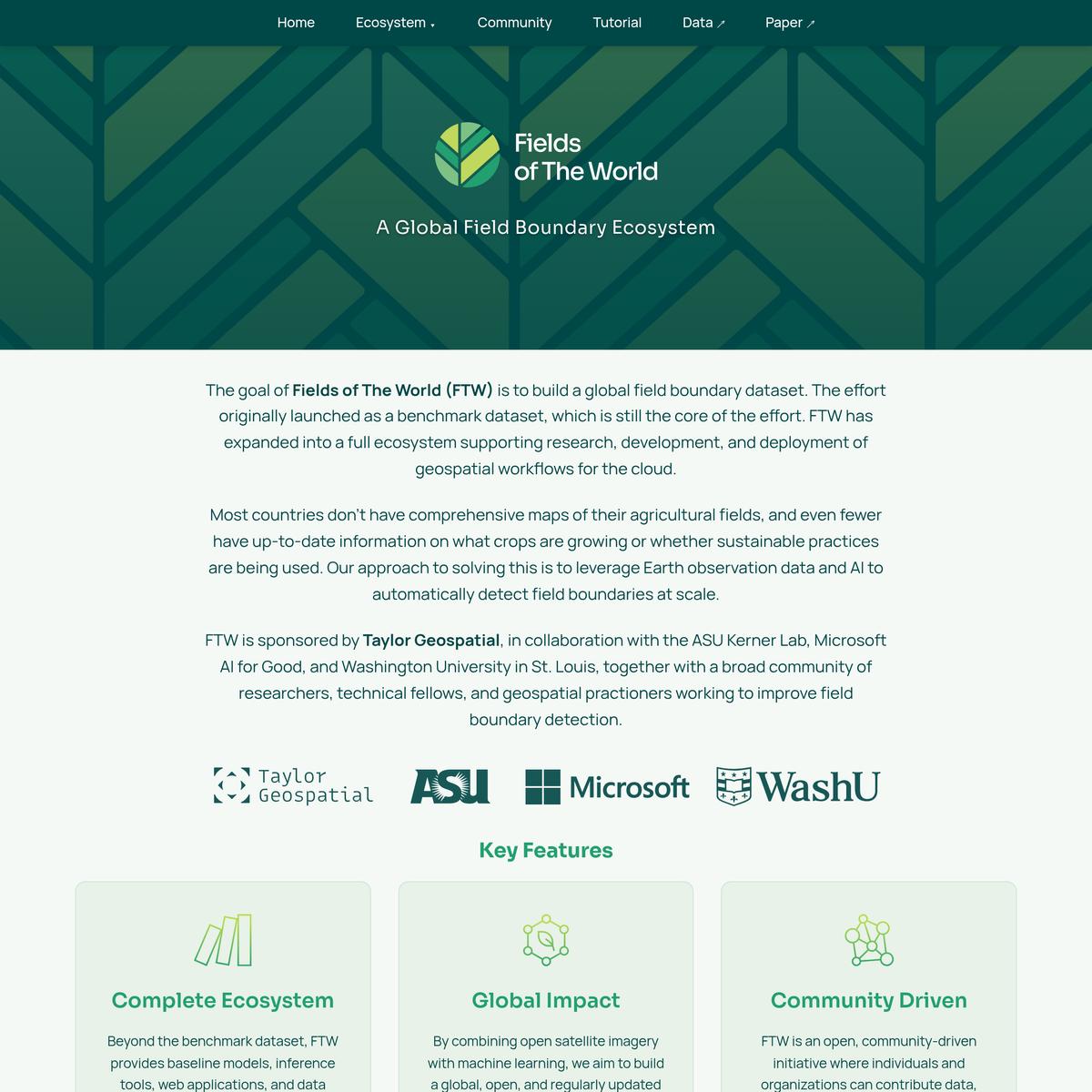
Fields of The World: A Global Field Boundary Ecosystem
via fieldsofthe.world
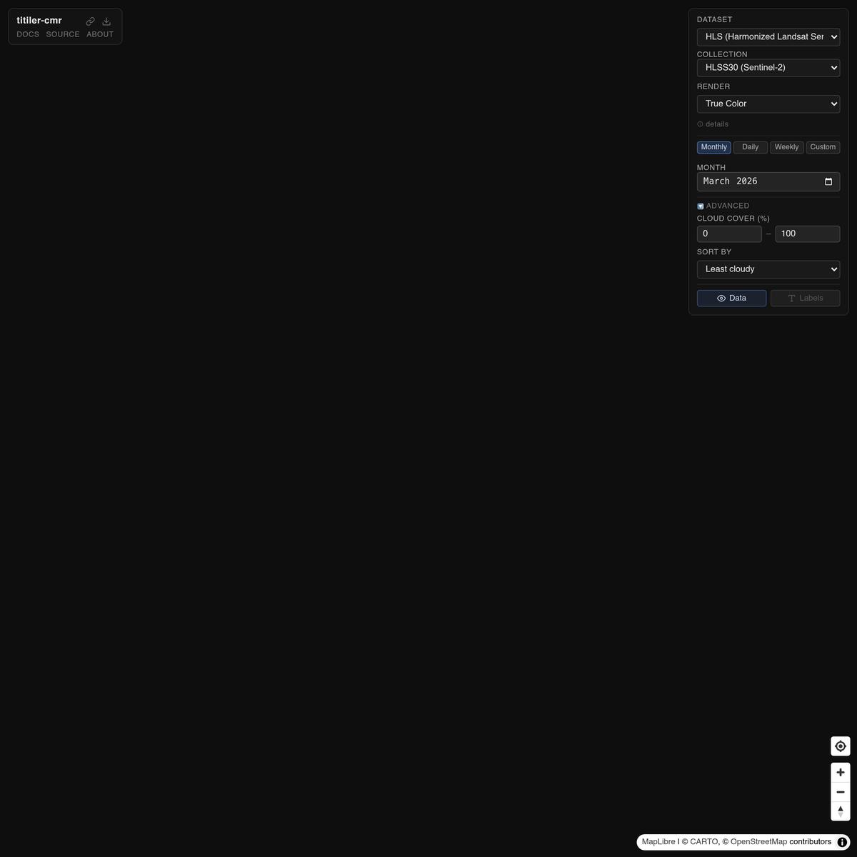
titiler-cmr browser
via developmentseed.org

vois.ipynb
A fully interactive, scalable, and language-agnostic computing environment that operates entirely in your browser. Supports Python, R, C++, and GNU Octave. Share a link — anyone can run it instantly.
via notebook.link
Aditya Narayan nayak / nisar_pro · GitLab
via gitlab.com
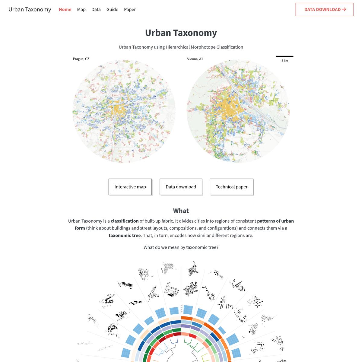
Urban Taxonomy
via urbantaxonomy.org
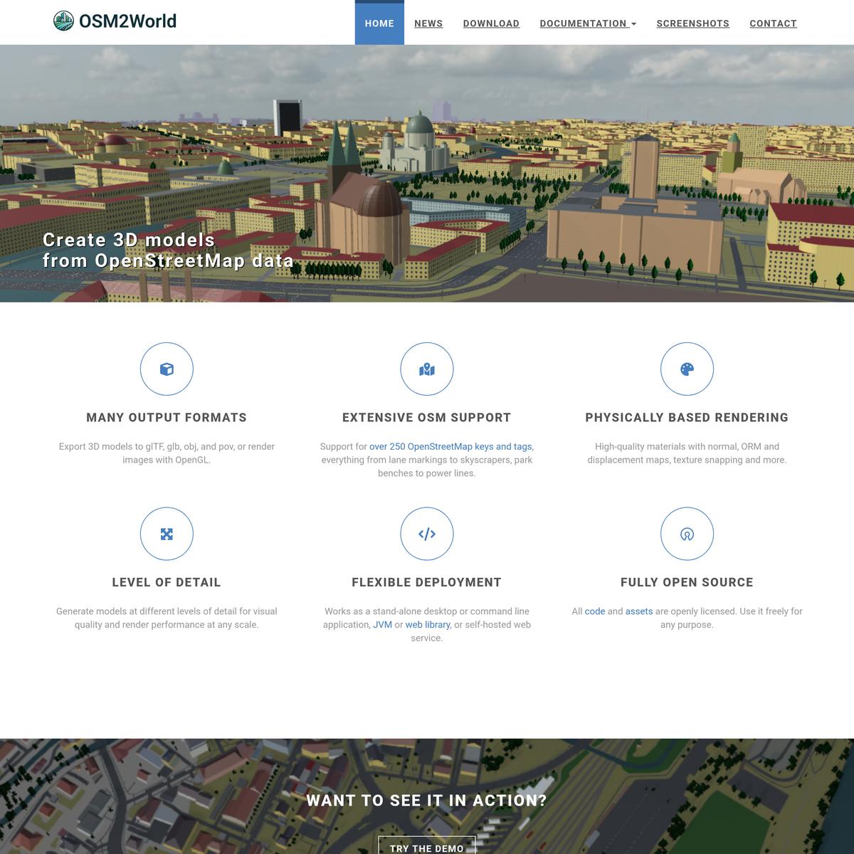
OSM2World
via osm2world.org

MTA.ME
via mta.me

Vercel Security Checkpoint
via opengridworks.com

nyc riders
via anita.garden
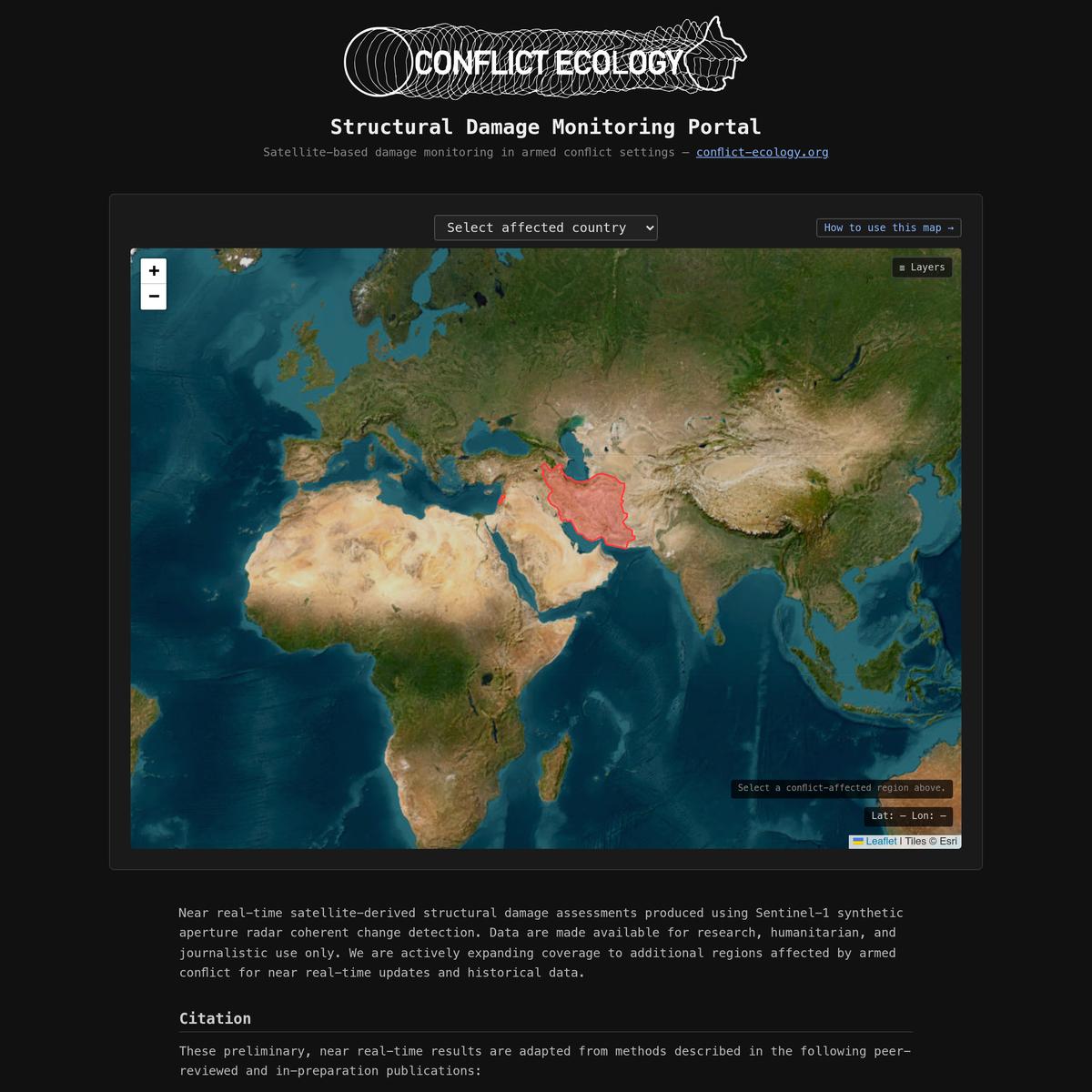
War Damage Assessment — Satellite Building Damage Monitoring
via rccd-damage-portal.netlify.app

World Orogen — Procedural Planet Generator
Generate realistic procedural planets with tectonic plates, erosion, climate simulation, and volcanic islands — free, in your browser. Export heightmaps for worldbuilding, games, and tabletop RPGs.
via orogen.studio
World map, satellite view // Earth map online service
🗺️ All world countries satellite map with labels, ruler, places sharing, search, locating, route planning, states boundary tracking, city list menu for each state, weather forecast
via satellites.pro
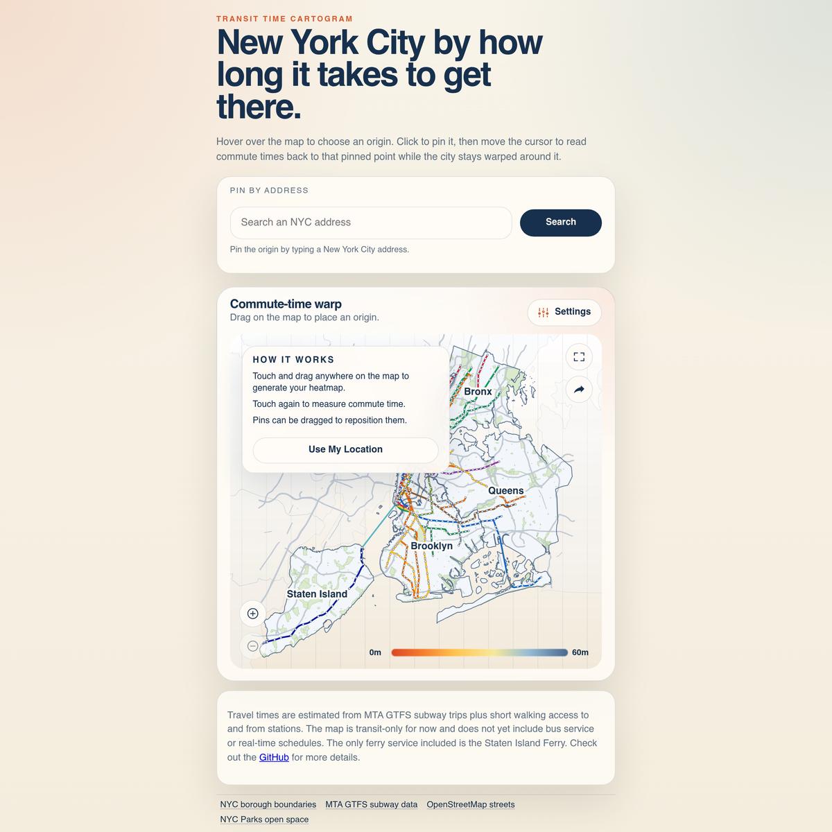
NYC Commute POV | Transit Time Cartogram
Explore New York City by subway commute time with a warped transit cartogram, live origin pinning, and 60-minute reachability scores.
via castrio.me
https://potential.nyc/
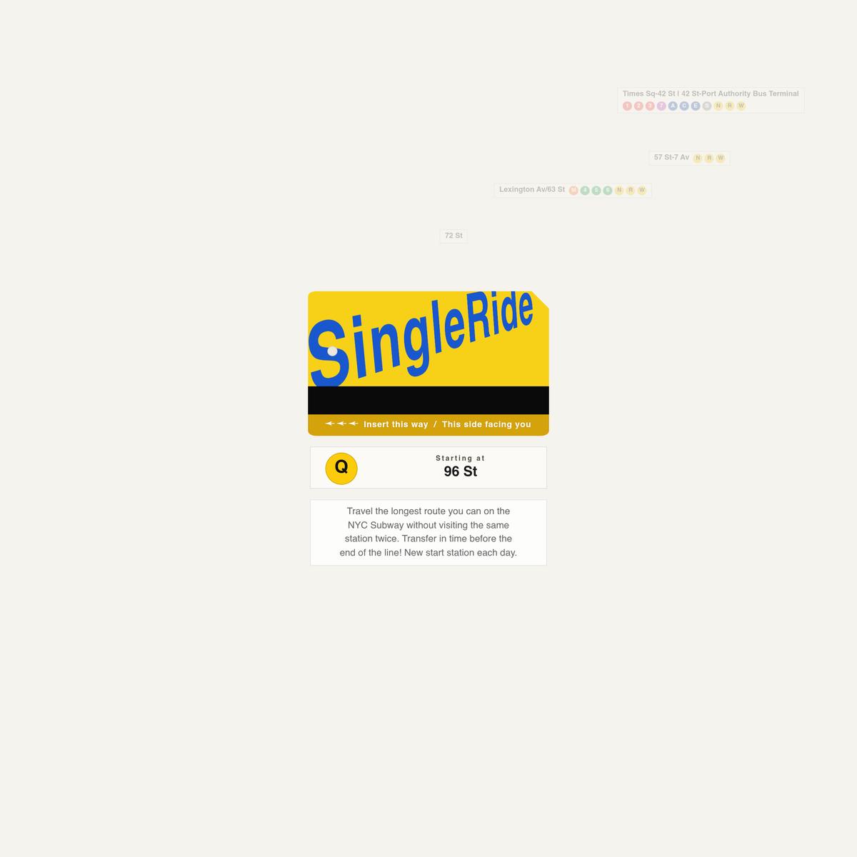
Single Ride
Travel the longest route on the NYC Subway without visiting the same station twice. Transfer before the end of the line! A new start station each day.
via singleride.nyc